
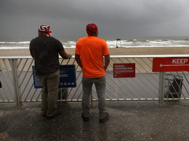
The Gulf Coast is bracing for a dangerous Friday as Tropical Storm Isaias races toward the northern Gulf, with forecasters warning that the system could rapidly intensify into a strong hurricane before making landfall.
The National Hurricane Center said in its latest advisory that Isaias, now over the Gulf of America, is “expected to strengthen into a strong hurricane before approaching the northern Gulf Coast on Friday.”
That warning is more than a routine weather update.
The NHC said there is an increasing threat of life-threatening storm surge along portions of the northern Gulf Coast and has issued a Storm Surge Watch stretching from the mouth of the Mississippi River to Yankeetown, Florida. Damaging hurricane-force winds could also strike parts of the Florida Panhandle, southern Alabama, and Mississippi.
For communities in the storm's path, the message is straightforward: prepare before the weather turns ugly.
Florida Gov. Ron DeSantis moved quickly on Tuesday, declaring a state of emergency for 25 counties as officials prepared for potential impacts across the Panhandle and Big Bend region.
“This order ensures communities have the time and resources necessary to prepare for potential severe weather impacts to the Panhandle and Big Bend region of Florida,” DeSantis said.
He urged Floridians to have emergency plans ready, keep supply kits stocked, and monitor official weather updates.
That kind of preparation matters. Hurricanes do not wait for government paperwork to catch up, and they certainly do not care whether a community feels ready.
Meteorologist Jim Cantore is also warning that the storm's rapid development could be the most important part of the forecast.
“There is always some room to run with the rapid developers,” Cantore said, pointing to the combination of Gulf conditions and water temperatures above 30 degrees Celsius. He noted that Isaias could weaken somewhat before landfall, but the current forecast still calls for a strong Category 2 hurricane to come ashore.
“The surge and wind is expected to be very impactful from LA into FL,” Cantore said.
That combination could make this a serious test for communities along the Gulf. Storm surge can turn normally familiar coastal areas into dangerous zones, while powerful winds can knock out power, damage structures, block roads, and complicate emergency operations.
And this is precisely why preparedness cannot begin after the first hurricane warning arrives.
Families need to know where they will go, how they will communicate, and what they will do if power disappears or evacuation orders are issued. Emergency supplies should be ready before stores become crowded and roads become clogged.
There is no prize for waiting until the last minute.
The Gulf Coast has learned that lesson the hard way over the years. Now, with Isaias potentially strengthening rapidly over exceptionally warm Gulf waters, residents have another reminder that nature does not negotiate.
The forecast can still change, and officials will continue refining the storm's expected track and intensity. But the safest approach is the simplest one: take the warning seriously, prepare early, and listen to local authorities.
When the wind starts howling and the water starts rising, preparation is no longer a political slogan or a government recommendation. It is what stands between a dangerous storm and an even worse disaster.